Blog Posts · Trip Reports

Thinking About Our Muskoka Friends

This has been one tough spring for several areas and communities located to the north of us.

Excessive amounts of snow throughout the winter, rain as usual in the spring and a watershed management plan that needs to be revisited and redone, all had a contributing hand into the spring flooding in the area generally referred to as “The Muskoka’s.”

The Muskoka area is, for the most part, defined as “cottage country” in Ontario. The area is dotted with scores of large and small lakes, all lined with permanent homes and cottages as well. In as much as the area is a cottage and tourist destination, it is as well made of small to medium-sized communities throughout, where people live and work year round.

The following screenshot highlights the areas most affected or at least the ones that were shown most in the media. The green circles indicate the larger towns affected, while the red circles illustrate the bodies of water.

Screen Shot 2019-05-08 at 5.32.29 AM

The five communities which continually made the headlines in the news where, Huntsville, Gravenhurst, Bracebridge, Bala and Port Carling. As well, the Township of Muskoka Lakes.

Screen Shot 2019-05-08 at 5.50.39 AM
Township of Muskoka Lakes (highlighted and outlined in red)

Although the aforementioned towns all had significant flooding and damage, Bracebridge seemed to catch the bulk of the damage this year.

Bracebridge, Huntsville and the Township of Muskoka Lakes, all declared states of emergency.

Municipalities “declare a state of emergency” when an event that is either happening or will happen requires “quick action to protect the health, safety and welfare of people and to limit damage to property or the environment.”

Once a state of emergency is declared, it is first handled by the municipality that declared it. Every municipality to my understanding has an emergency response plan that is immediately put into action and managed at the local level, including, hospitals, fire departments, police and public works.

If assistance beyond this is required, they request it from the province. If the emergency goes beyond the capabilities of the province, additional requests for assistance can be made to the Federal Government.

As Bracebridge seemed to have the worse damage and flooding, a request under the “emergency declaration” was made to the Federal Government for the Canadian Armed Forces to provide soldiers to be deployed to help with the ongoing flood relief efforts. The request was, granted and within a day or so, and a reserve unit from the Toronto area was dispatched to help.

Last week, Lynn and I went out to an area just to the north of us, more or less to simply get outside and do something. After taking a few pictures at a spot called “The Big Chute” and in addition with it being a gorgeous afternoon, we decided to head north to the Bala, Gravenhurst and Bracebridge areas to check out the flooding for ourselves.

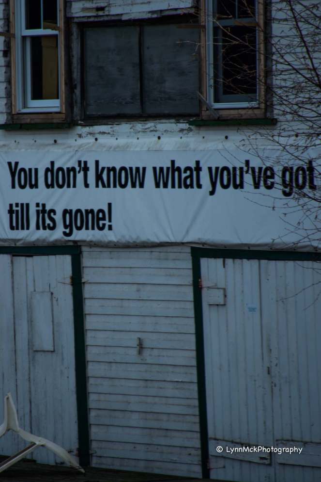
Pictures from the afternoon.

Big Chute:

IMG_20190430_131627763

DSC_0052

DSC_0053

DSC_0054

DSC_0056

Bala:


DSC_0113

DSC_0109

DSC_0107

DSC_0112-Edit

DSC_0127

DSC_0130

DSC_0105

DSC_0078-Edit

Gravenhurst:

DSC_0133

DSC_0134

DSC_0135

DSC_0140

DSC_0141

DSC_0145

DSC_0147

DSC_0149

Bracebridge:

DSC_0178-Edit

DSC_0158-Edit

DSC_0159-Edit

DSC_0162-Edit-Edit

DSC_0168

DSC_0170

Screen Shot 2019-05-08 at 5.00.38 AM
Credit: CTV News Barrie


Township of Muskoka Lakes:

DSC_0182

As much as it was exhilarating to observe the power and ferocity of the water, especially in Bala and Bracebridge, it was equally disheartening and saddening to view the amount of flooding and subsequent damage to so many structures throughout the area.

As of posting this, water in most of the affected areas has started to recede, but the clean up of debris, including the removal of 10,000’s of sandbags has yet to start. Repair and or demolition of buildings and structures will be an ongoing process, certainly through the summer and perhaps into 2020.

This has not been an isolated event throughout these areas. Most of these locations were flooded in 2013 at which time was considered a “100-year flood.” That being a flood that might occur once every 100 years. The flooding this year in 2019 far exceeds that of 2013.

Nevertheless, the people in the affected areas are a resilient bunch of folks. They come to the aid of neighbours when needed at the drop of a hat. The areas will recover and rebuild as required.

I’m sure that is starting and happening as we speak.

Thanks for taking a look at what has certainly dominated the news feeds in my area over the past couple of weeks.


—  get outdoors; find inspiration; discover yourself  —

Blog Posts · Trip Reports

Bracebridge Resource Management Centre

Yet, another Tuesday dawned with sunshine and warm temperatures, all of it wrapped up in an invitation to head somewhere and soak it all in.

Now, not wanting to decline Mother Nature’s enticing invite, we decided to head north, to the Bracebridge Resource Management Centre(BRMC) on Highway 11, slightly north of the Town of Bracebridge.

Without stating the obvious, it has been a long and cold winter in our little part of the universe this year. So, anytime the sun decides to shine and rise the outside temperature ever so much, you have to take advantage.

It’s these early spring days when the rays of the sun blast out of the heavens, which can penetrate into even the darkest and dreariest recesses of our soul. It is precisely then, that our innermost psyche screams at us; commands us to get out outdoors and set the thawing and renewing of our minds, soul and spirit into action.

Screen Shot 2019-03-19 at 10.08.56 AM

I believe the BRMC property is owned by the Ministry of Natural Resources, the operation and maintenance of the facility is a joint effort between volunteers, The Town of Bracebridge and the Province of Ontario.

Nevertheless, it offers over 16 kilometres of hiking, groomed cross-country skiing and snowshoe trails and the best part of it all – free of charge.

Leaving the homestead around 10:30am, we took a slightly and far more scenic route to the BRMC, arriving close to noontime.

After collecting our gear and “suiting up,” we give a quick once over the trail map and figured a loop along the outside perimeter adjacent to the Muskoka River might be the best prescription for the day.

IMG_20190319_121126483

Should make note that, although there are several hills scattered throughout the trail system, none would be what I would consider extensive, long or steep. For the most part, the trails, at least the 7 kilometres we hiked were gently rolling and many flat stretches.

With a plan in mind, off we headed along Trail 1 and looking to see what sights there would be at the small rapids on the Muskoka River known as Duck Chutes.

Getting underway!

DSC_0066

DSC_0124-Edit

The “Duck Chutes” rapids in the distance on the Muskoka River.

IMG_20190319_124509326

A few more pictures from here.

DSC_0068-Edit-Edit

DSC_0078-Edit

Lynn crawling through the underbrush to get the best shot.

IMG_20190319_130138637

DSC_0080-Edit

DSC_0094_HDR-Edit

A short video clip from the “Duck Chutes.”

After leaving Duck Chutes, we continued along Trail No. 1 as it wove its way throughout the mixed hardwood forest until it intersected with Trail No. 2. This was the most interesting find. If you didn’t get a map at the beginning there was another opportunity. As well, there was a guest book to sign, although the pages were only a bit damp. A cute find nonetheless.

DSC_0119_HDR-Edit

DSC_0122-Edit

From this stage on along Trail 2, it moves through the BRMC next to the Muskoka River. Interesting to note that at this point in the winter/early spring, the river was not frozen and was flowing freely. It made for a very peaceful and relaxing trek as the sounds of the river and birds chirping merrily in the forest were exceedingly soothing.

DSC_0241-Edit

Although not captured so much in this picture, that was a very steep slope covered in a thick blanket of snow and ice. I loved how the water froze around the trunk of the tree.

DSC_0138-Edit

DSC_0206-Edit

DSC_0210

Lynn had recently purchased a glass sphere or prism to create different shots when out on adventures. I think the results she gets, adds just another layer or exciting element to what we do. The shots might not be for everyone, but for myself, Lynn has the ability to capture those small, intimate moments or things along the way that hold great and deep meaning to us.

DSC_0209The ball is sitting to top of a tree stump.

DSC_0222_HDR

DSC_0215-Edit-2

DSC_0155-Edit

Often getting the shot involves getting oneself into precarious positions. The above is a lovely shot through the trees of the Muskoka River. What the shot doesn’t show is the steep slope down to the water that Lynn was laying on.

This wasn’t so bad.

IMG_20190319_133510524When taking another shot, Lynn was facing completely downhill with me executing a “death grip” hold of the waistband of her snow pants so she wouldn’t slide into the drink.

Another shot of the Muskoka River. I mentioned to Lynn that in warmer weather this would make a dandy spot for a quiet paddle along its still waters in a canoe.

DSC_0160_HDR

Which way now? All kidding though, the trails are marked very well. It would take so doing and effort to get lost.

DSC_0127-Edit

There are a few uphill portions. Like I mentioned previously, the BRMC is not that hilly and the hills tend to be relatively short.

DSC_0286-Edit

Just proves once more, how much snow has fallen this year in the Muskoka area. Yikes. I stepped off the trail at one point and sank up to my waist, however my feet had not reached the forest floor. I’m over six feet tall. That gives some idea of the snow depth. Hopefully, the melt will be slow and steady. If not, there will be a significant amount of flooding and potential damage that has occurred in previous years.

DSC_0106_HDR-Edit

This is a superior capture by Lynn. There are five distinct layers of colour in this shot. Fantastic!

DSC_0112-Edit

DSC_0118-Edit

There were several information boards scattered throughout the trails, highlighting some aspects within the BRMC. This particular one provides some information about this large boulder referred to as a “glacial erratic.”

DSC_0228

A sign hopefully that spring is slowly inching forward.

DSC_0292-Edit

Been a tough winter for hydro poles evidently.

DSC_0247-Edit

One last shot of the Muskoka River as we were nearing the end of our time at the BRMC.

DSC_0273-Edit

When you come to a fork in the road – take it.

DSC_0288-Edit

Proof again that there is and was a lot of snow.

DSC_0295

With any amount of luck, soon this little stream will be flowing mightily, or as mightily as it can with the spring snowmelt run-off.

DSC_0279

Good and proper forest management techniques ensure a healthy forest for animals that dwell in it and for those who come and visit just for a short time.

DSC_0290

We spent a wonderful four hours, give or take, leisurely covering about 7 kilometres of the 16-kilometre trail system.

With that, we left the Bracebridge Resource Management Centre around 4:30 pm and headed north to Huntsville to grab a well-deserved coffee. I should note that when leaving the BRMC, you can only turn right onto Highway 11.

After snagging a coffee, we simply took our time heading home. A slow and quiet drive, giving us that time to relive in our minds as well as verbally, the refreshing and renewed afternoon spent hiking.

I find much joy and solace spending time in the outdoors. Significant research has been completed on the benefits, both physical and emotional, of hiking and spending even small amounts of time in the outdoors.

Here are but a few of the reasons:(from Ontario Parks  – Healthy Parks/Healthy People)

  • a simple walk in the woods can alleviate mental fatigue
  • it can combat stress while improving mental well-being
  • contact with nature lowers blood pressure; strengthens the immune system; helps to prevent disease
  • time spent in nature causes better-coping skills, including self-awareness; self-concept and a positively affected mood
  • a 2-hour walk in the wood is enough to improve sleep quality and mitigate sleep problems
  • the smell of fresh pine has been shown to lower depression and anxiety

A few last pictures as the sun was dipping below the horizon.

Hard to believe, but this was done by Lynn out the side window of the car, along Highway 400 near Port Severn.

DSC_0300-Edit

DSC_0302

If you’re ever in the area, be sure to check out the Bracebridge Resource Management Centre trail system.

It is easily accessible from Highway 11 northbound and is just a few minutes outside the Town of Bracebridge. There is parking for a fair number of cars(guessing it might be able to hold 10 to 15 vehicles) and there are portable toilets at the trailhead, with several vault toilets located at one or two main intersection points on the trails. My grading of the trails would be easy to moderate in terms of difficulty.

If you had in the spring or summer, be sure to wear a bug net/hat or use an adequate insect repellent. I suspect like most of the Muskoka’s, biting insects here would be as much an issue as at other spots.

Thanks for taking the time to stop by and visit.


—  get outdoors; find inspiration; discover yourself  —


Blog Posts · Trip Reports

Day Trip to Bracebridge, ON

img_20170412_121656659.jpg

In my last post, I mentioned that Lynn had been sidelined with a bad sinus cold thing for the last couple of weeks. Seeing she was starting to get some energy back, we thought a short hike in the Bracebridge Resource Management trail system might be alright to get started back on track.

That morning, Lynn woke up feeling not all that great. So, not wanting to spend yet another day at home, we decide to change it to an easy day trip and photograph the Muskoka River, as it cascades over the Bracebridge Falls in downtown Bracebridge.

We headed out on our excursion, getting onto Highway 400 northbound from Highway 12. It seems that over the past week or so, we’ve headed in this direction 3 or 4 times to take pictures, or just to get Lynn out of the house for a breath of fresh air. Maybe the universe is telling us we need to move here. It is a beautiful part of Canada, with the rugged Canadian shield and literally dotted with hundreds of lake and rivers. Funny thing is, it’s less 40 minutes from where we are now!

We travelled up the “400”, finally exiting at Highway 169, then following it and Muskoka Road 118 through Port Carling and into Bracebridge. As a side note, Port Carling has the most unusual, but well architectured Tim Hortons I’ve ever seen.

Gosh, the drive was worth it just to see to look at it. Maybe I need to get out more!

In the days previous, there had been an unfortunate incident on this very same river and not far from this location. A 10-year boy lost his life when he was swept over another set of falls when the canoe he was in capsized.

The location where it happened is well-marked but has fast-moving dangerous water at any time of year. This spring, it seems we’ve had a lot of rain and with the snow melt, the river levels are very high. Fast water; cold water temperatures; falls/rapids; and alcohol don’t mix well. A real tragedy.

Here are a few pictures to give a sense of the water speed and level.

DSC_0247-Edit

DSC_0241-Edit

IMG_20170412_120007397

IMG_20170412_115705237


Here’s a short video clip to help show what the water is doing.

A few of final shots.

IMG_20170412_120736777

IMG_20170412_120030491
Sick – but still snapping away!

DSC_0269-Edit

Overall, it was a good day out. Even though I lamented to a fellow blogger that I felt disappointed and bummed out that we our original plans didn’t happen, it was sobering to watch the speed and ferocity that the Muskoka River was moving through here.

Kept thinking back to that poor lad who lost his life needlessly just a few days prior.

We finished up in Bracebridge by having lunch at “The New Dairy Bar Restaurant” on Manitoba Street. You can never go wrong with BLT’s and Toasted Western’s with home fries. Nice spot to check out!

So, hope you liked it. More pictures than words this time, but that’s okay.

Be safe out there, especially this time of year(spring) when the water is moving fast and is deadly cold. Pay close attention to warning signs and don’t move outside your ability.

I don’t want to read that you’ve become a statistic, cause I’d like to meet you all someday.